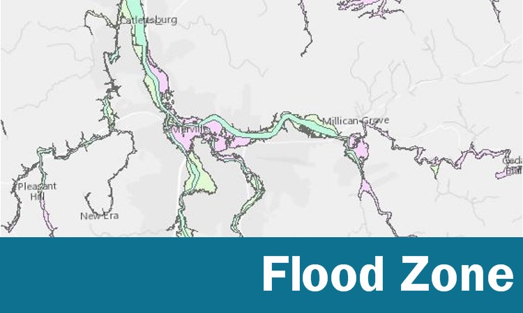
Flood Zone Map
Map of the City of Sevierville with base flood elevations, flood hazard boundaries and flood hazard zones.
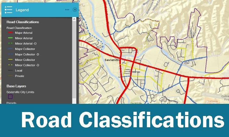
Road Classifications
Map of roads within the City of Sevierville categorized by road classification.
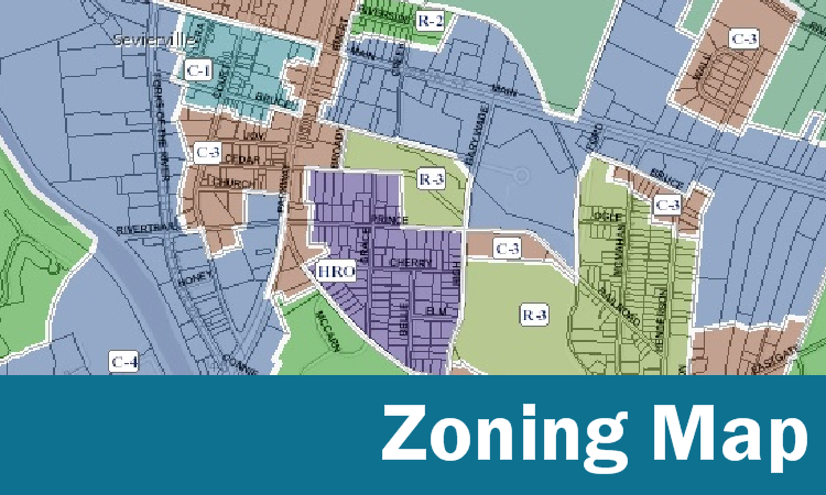
Zoning Map
Map of City of Sevierville zoning with the ability to search by address or parcel number.
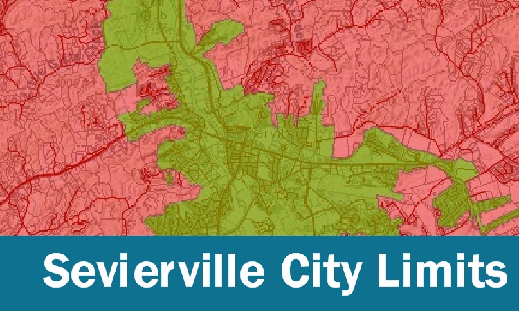
Sevierville City Limits
Search by parcel number or address to determine if you are inside the city limits.
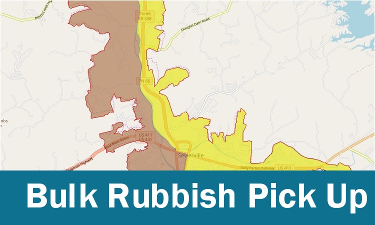
Bulk Rubbish Pick Up Schedule
Search by address to find the scheduled pick up times for junk/bulk rubbish.
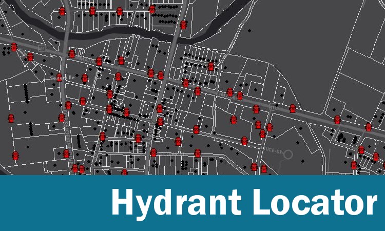
Hydrant Locator Map
Search by address or parcel to find the nearest hydrant. Measuring tool included.